Photo credit: FREEPIK
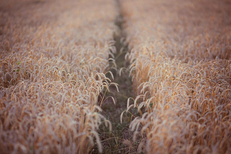
The theoretical calculation of crop nitrogen needs in France has been carried out since 1992. This calculation is used to comply with the Nitrates Directive (European directive). The necessary data are provided by technical institutes and aggregated through COMIFER (French Committee for the Study and Development of Rational Fertilization). Estimating crop needs using satellite imagery is a major advance in precision agriculture. The images captured reveal information on plant cover (biomass) and allow the modelling of plant nitrogen content (Nitrogen Nutrition Index) to assess plant nitrogen needs and advise farmers on their site-specific fertilization practices for winter cereals and rapeseed.
Thanks to spectral indices such as the Normalized Difference Vegetation Index (NDVI), farmers can identify areas requiring specific nitrogen inputs. All farmers can use these digital solutions (such as
Mes Sat’images and Farmstar) to optimize their fertilization strategy both with solid and liquid fertilisers. Fertilisers can be applied uniformly all over the field using conventional equipment or at different rates in each part of the field using precision farming tools using e.g. the ISOBUS standardized data exchange format (ISOXML). ISOXML facilitates the interoperability between the precision farming tools and software packages such as Farmstar. This optimizes fertilization, thereby reducing costs and minimizing environmental impact. In addition, this approach promotes sustainable resource management, while increasing yields. By integrating satellite imagery into agricultural practices, it becomes possible to respond more precisely to the crop needs, ensuring a more efficient and resilient food production.